How Digital and Real-World Convergence Impacts Experience Design
As experience design continues to evolve and mature, it’s important to understand not only what interaction behaviors and patterns people adopt, but how those digital patterns affect real-world interactions and modify conventions.
One of the key heuristic principles of interface design proposed by Jakob Nielsen, a widely acclaimed Web usability consultant, is to, "Follow real-world conventions" to create a "Match between the system and the real world."[1] Outside the digital realm, we typically use maps to create linkages and contextual relationships among pieces of information, because a map, "Denotes relative proximity of entities along with their size, relative direction, [and] shape."[2] A single screen with a fixed resolution can only display a certain amount of information at a time, so it has to be displayed selectively, in parts, and linked together. Paths from one link to the next can be either displayed or guided by a map. Therefore, it makes sense that in the digital realm we refer to these paths as navigation.
The glove box of the family car used to be filled with large, fold-out paper maps. At the time, these were very effective at communicating the shape and design pattern of an area. Navigation using this type of map required an understanding of the design system to figure out the relationship of objects within that system and how you can most effectively move from one location to the next. For example, "Chicago is known for having one of the simplest street systems of any big city in the world, with every address emanating out from a central origin point at the intersection of State and Madison Streets."[3] To this day, many websites still use this "real world", hierarchical navigation system.
Google Maps
However, screens have changed the frame of reference for how maps are used in the digital realm. Constrained by screen size, a digital map, such as Google Maps, can only show small areas at a time, removing the ability for holistic and contextual reference. But, since Google Maps is primarily used for navigation and not orientation, the wider context becomes less relevant.
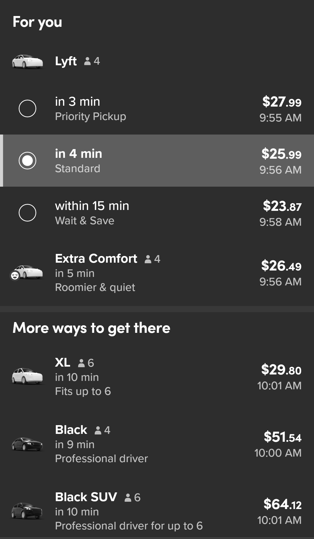
Uber
Another example is Uber, which further changes the map reference by removing context completely. Spatial relation and orientation are no longer necessary at all, because only two points are relevant: your origin and your destination. Distance isn’t even measured in spatial terms. Rather, it is measured monetarily as in, "It’s about a $10 Uber ride from here." Maps have changed from displaying the relationship of objects to each other to displaying the relationship of a single viewer to a single object.
Google Maps and Uber have evolved the way we navigate through the real world. As more new devices and applications are used, the more people will develop new behaviors and patterns that change how they interact with the real world. The reference points change and so does a person’s relationship to them.
The real-world convention of mapping is still relevant as an interface design principle. However, the convention itself needs to evolve based on how tools have affected it. As the real and digital worlds converge and people become even more digitally sophisticated, we will likely be moving away from exclusively grounding digital experiences in real-world conventions to creating interfaces that are truly based on human communication, behavior, and emotion.
[1] Nielsen, Jakob (1995). 10 Usability Heuristics for User Interface Design. Retrieved from https://www.nngroup.com/articles/ten-usability-heuristics/
[2] MacEachren, Alan M. (2004). How Maps Work. New York: The Guilford Press
[3] Bently, Chris and Masengarb, Jenner (2015). The unsung hero of urban planning who made it easy to get around Chicago. Retrieved from https://www.wbez.org/shows/curious-city/the-unsung-hero-of-urban-planning-who-made-it-easy-to-get-around-chicago/43dcf0ab-6c2b-49c3-9ccf-08a52b5d325a